Best Drone for Mapping (Surveying & GIS) – 2026 Guide
Best Drone for Mapping (Surveying & GIS) – 2026 Guide
Choosing the best drone for mapping depends on your project size, accuracy requirements, and budget. In 2026, DJI continues to lead the mapping and surveying market with advanced RTK-enabled drones and high-performance imaging systems.
In this guide, we compare the best drones for mapping and help you choose the right solution for your needs.
Best Drone for Mapping – Overview
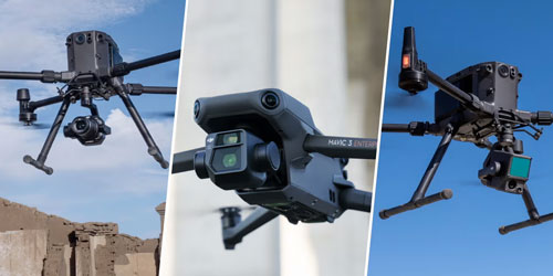
- Best overall (professional): DJI Matrice 4E
- Best portable solution: DJI Mavic 3 Enterprise
- Best for large-scale projects: DJI Matrice series
DJI Matrice 4E – Best Drone for Professional Mapping
The DJI Matrice 4E is currently one of the most advanced mapping drones available. It is designed for professional surveying, GIS, and industrial applications where accuracy and efficiency are critical.
- RTK support for centimeter-level accuracy
- Mechanical shutter for distortion-free mapping
- Long flight time (up to 49 minutes)
- Large area coverage per flight
This drone is ideal for construction, mining, infrastructure inspection, and government projects.
Powered by Mirasvit Magento 2 Extensions
Recent Posts
-
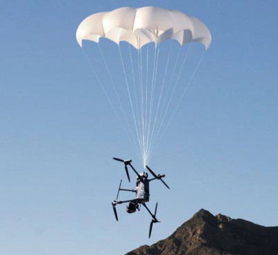 DJI AP100 Parachute for Matrice 400 – C5/C6 Compliance, Safety and Full Overview
 -
 Najboljši DJI dron 2026 – Kateri izbrati?
 -
 Best DJI Drone 2026 Comparison – Neo 2, Avata 2, Mini 5 Pro, Air 3S, Mavic 4 Pro
 -
 DJI Mini 5 Pro Review (2026) – Best Lightweight Drone?
 -
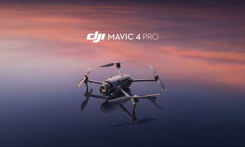 DJI Mavic 4 Pro Review – Is It Worth It in 2026?